
Looking Up Your Ceres Neighbors
A Ceres neighbors lookup has a small, useful scope when each source is named. GIS identifies the parcels around an address. The assessor connects an APN to an owner and separates situs from tax-bill mailing. RecorderWorks can add a title or lien trail. Voter data is restricted, and historical directories can show a past listed subscriber. Ceres Neighborhood Watch supplies a community contact route, not a public member list.
| Source | What it shows about a block | Access |
|---|---|---|
| Stanislaus GIS parcel map | Adjacent polygons, APNs, limits, annexation layers | Free map and parcel resources |
| Assessor parcel record | Owner, situs, mailing, assessment and characteristics | Free APN route; kiosk for broader search |
| RecorderWorks | Recorded parties and legal descriptions | Free party index; copy rules apply |
| Voter information | Authorized file or personal status clues | Purpose restricted under California law |
| Community and historical sources | Program contact or past listed household clues | City program or library access |
Owners and occupants are not the same category. A parcel can show a titled owner who sends tax notices elsewhere. A historical listing can show a subscriber who moved before the next edition. The block picture is strongest when the source, date, and fact type are written beside every name.
Mapping a Ceres Block
The county GIS method for nearby Ceres neighbors is an outward walk from one known parcel. Search or pan to the address, turn on parcel boundaries and labels, select the subject polygon, and write down its APN. Then click each adjoining polygon separately. Do not assume that the next street number is the next parcel, because lots can have irregular shapes, alleys, corners, or separate access.
- Open Stanislaus County GIS and locate the subject address.
- Record the subject APN, city-limit context, and any subdivision or recorded-map reference.
- Select each adjoining parcel and copy its APN rather than copying only a street number.
- Open the assessor record for each APN and label owner, situs, and mailing fields.
- Use RecorderWorks or a historical source only when the block question needs a dated title or past household clue.
Exact ArcGIS control labels and layer names can change with the viewer version. The research confirms the parcel, city-limit, annexation, road, and service-area resources, but not a permanent list of button names. Save a map date and source link with the APN notes.
Ceres Parcels Touching One Address
Adjacent-parcel work is more precise than a broad “who lives nearby” search because it starts with land geometry. Recorded Maps can help translate an APN into the subdivision and map reference used in a deed. Available families include parcel maps, subdivision maps, county surveys, records of survey, corner records, tie cards, GLO plats, and certificates of correction. A selected feature may return map name, volume, page, city, and a PDF link.
Use the map to identify which parcels touch the subject polygon, then open each APN in the assessor route. The map does not show a full household. It also does not guarantee that a fence, driveway, or mailing label follows the parcel line. For a boundary dispute or title question, the recorded map and custodian matter more than a visual guess.
When the block extends across a city edge, compare the GIS city-limit and annexation layers with Ceres Planning. A current neighbor result can change offices over time if an unincorporated parcel is annexed.
Ceres Owners and Households
The assessor is a parcel source, not a household list. A result may separate owner, situs address, tax-bill mailing address, assessed value, use, characteristics, and legal references. A different mailing address can be useful for an ownership trail, but it does not establish that the owner lives at the parcel. RecorderWorks adds parties to deeds, liens, and other instruments, not everyone who uses the building.
Historical Haines criss-cross directories can show a listed name at a street and number during 1971 to 1990, with catalog gaps. Telephone books can show a subscriber from 1966 to 1998. Both are dated, incomplete clues. Children, unlisted subscribers, and other household members can be omitted. A present-day neighbors lookup should never turn an old listing into a current claim.
The comparison below distinguishes official records from commercial compilation tools. The commercial category may gather several public clues, but it can merge names, lag behind corrections, or omit protected people. It is not an official block map.
| Route | Useful strength | Limit |
|---|---|---|
| GIS and assessor | Parcel shape, APN, owner and address fields | Does not list every household member |
| Recorder and planning | Legal parties, projects, notices, dated land records | Role in a filing is not occupancy |
| Historical or community source | Past subscriber or public contact route | Year, membership, and access limits apply |
| Commercial compilation | May combine public and purchased clues | Unknown merges, stale results, no custodian correction path |
Ceres Voter Data Is Not a Block List
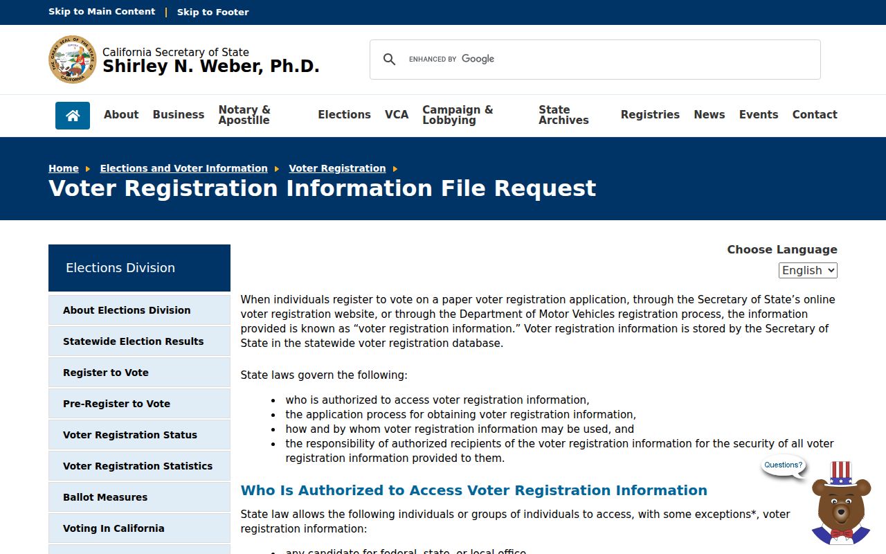
California My Voter Status is a private self-check that asks the requesting voter for identifying details and returns personal registration information. It is not a public surname search. Elections Code section 2194 limits voter-file access to defined electoral, scholarly, journalistic, governmental, or political purposes. Section 18109 makes unauthorized use a misdemeanor, and signatures, driver-license numbers, and Social Security information are excluded.
The California Secretary of State voter-file application asks for requester and organization details, scope, active or inactive voter choices, optional participation or district files, intended use, statutory purpose, and certification. The voter-file application PDF provides the form fields. County-specific fees and turnaround for Stanislaus were not reliably located. An approved file can contain addresses and other fields subject to the law, but it is not an invitation to browse every Ceres neighbors address.
The form below is linked to the official California voter-file request instructions. It illustrates the purpose certification that separates an authorized request from a casual block search.
Safe at Home participants may have substitute addresses or protected records. A missing voter clue is therefore not proof that a neighbor is absent.
Ceres Planning Notices Near An Address
Annexation and planning files can show a proposed notice area around a Ceres parcel. The research notes that annexation applications can require owner names and mailing addresses for land in the area plus certified labels for owners within 300 feet. Those labels describe who receives a notice. They do not identify everyone living in the radius.
Copper Trails illustrates why a block can change government channels over time. The project involves roughly 535 adjacent acres and additional unincorporated land proposed for annexation. A ZIP code may stay the same while planning, permit, and service records move from county-only to city channels. Note whether a file describes a proposal, an adopted action, or a completed annexation.
Use the Stanislaus GIS open-data hub for parcel, city-limit, annexation, and recorded-map resources, then use Ceres Planning or the official Copper Trails information for the project record. A notice list is a geographic research clue, not a resident directory.
Ceres Neighborhood Watch Contact Layer
Ceres Neighborhood Watch is a legitimate community contact route for organizing a block, but the city does not publish a household or member directory through the program page. That boundary is useful. It lets neighbors coordinate without turning a safety program into a public list of names and addresses.
The broader city resource and organization layer can point to public civic or sports contacts. Those listings identify an organization, not its full membership. The contact table below shows what the named routes can and cannot supply.
| Community route | Use | Boundary |
|---|---|---|
| Ceres Neighborhood Watch | Register or organize a block through the city-supported program | No public household or member roster located |
| Ceres civic and sports organizations | Find public organization contacts through city resources | Public contact is not a resident list |
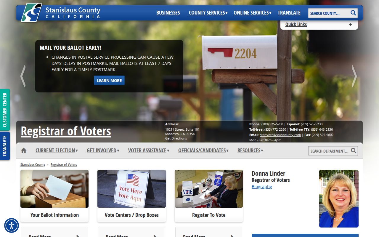
| Stanislaus elections services | Official election and voter-information channel | Voter data remains purpose restricted |
A community contact is often a better way to meet neighbors than trying to infer a person from a parcel. Use the official program route and respect the group’s own safety rules.
The Stanislaus elections office page below is the source for the local services image. It helps separate a public contact office from a private voter record.
For a full named-street record chain, move to the Ceres street directory rather than widening a block search beyond its purpose.
Privacy Limits on Ceres Neighbors
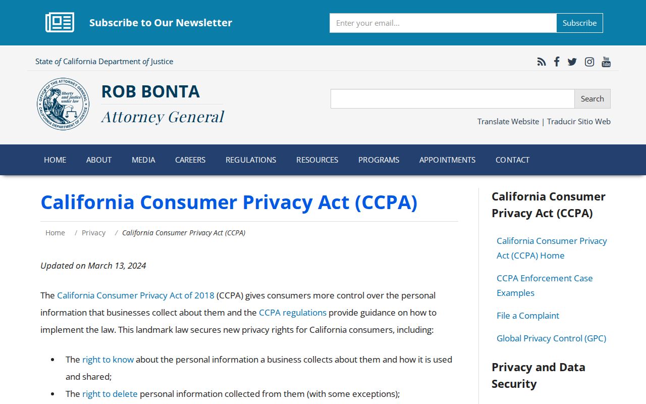
California privacy law gives qualifying consumers rights to know, delete, correct, and limit certain uses of personal data. The California Privacy Protection Agency’s DROP platform can send a deletion request to registered data brokers, but it does not rewrite a deed, court file, assessor record, or historical directory. Source-record corrections go to the custodian that created the record.
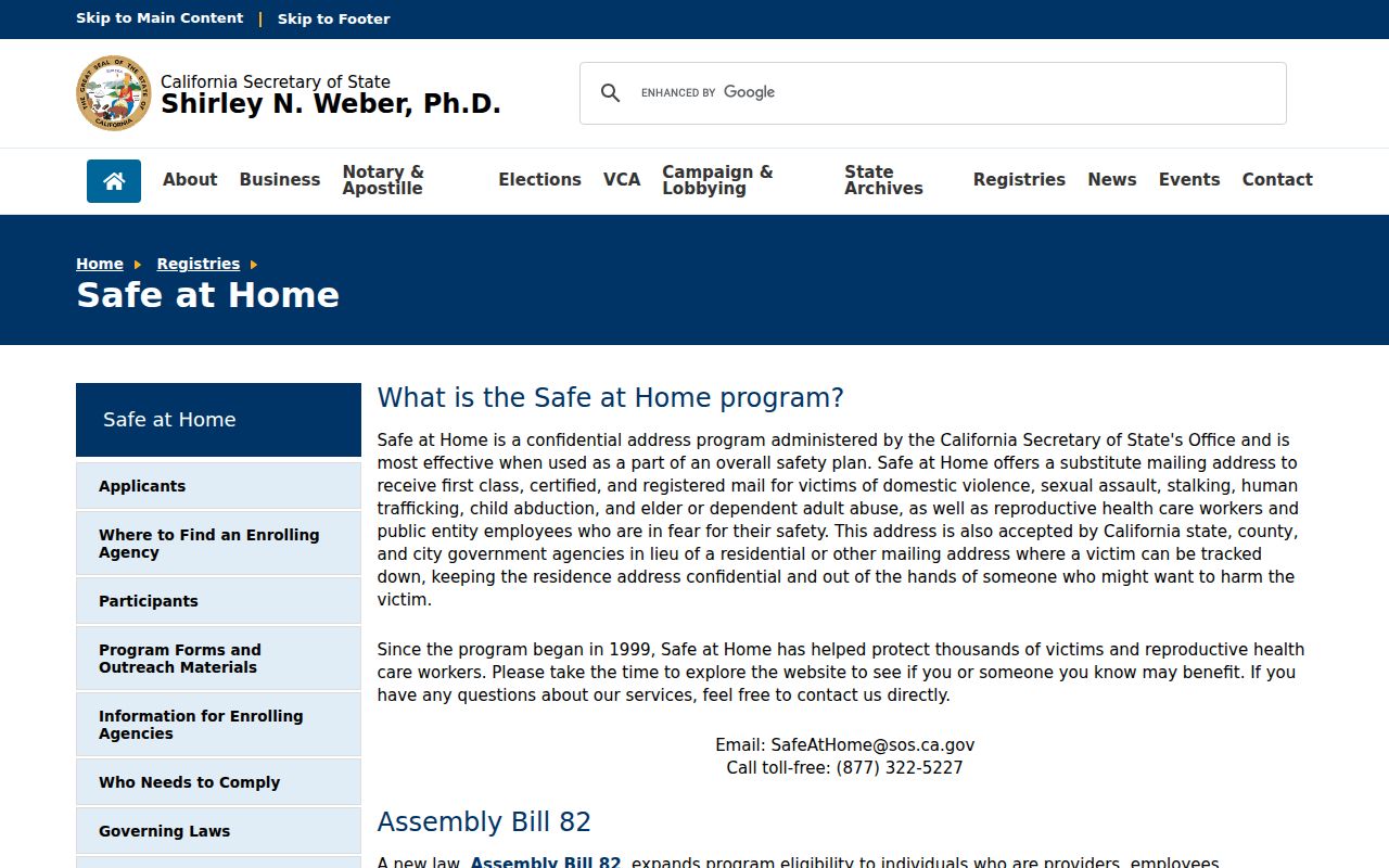
Safe at Home provides a substitute mailing address for eligible participants. Utility, delivery, DMV, and private customer data are not public neighbor sources. A Ceres neighbors search should stop when the source would require protected information or when an address clue would turn into unwanted contact.
The California privacy guidance shown below links to the California Attorney General CCPA information. It describes rights and opt-out context, not a method for extracting a block roster.
Safe at Home is a separate confidentiality program, not a general erasure tool. The source below links to the official California Safe at Home program.
Lawful personal use. Parcel and public-record clues can support a block map, family history, or safety question. Do not use a Ceres neighbors lookup to stalk, harass, threaten, or intimidate anyone.