
Finding Who Lives on a Ceres Street
A useful Ceres street directory search moves from a place to a set of records. Confirm that the number sits inside the incorporated city before treating a Ceres mailing label as city jurisdiction. Then use the county GIS or a map book to find the APN. The APN points to assessment data, while the recorder’s party index points to deeds and liens. Historical directories and a restricted voter channel may add household clues, but they answer a different question from title.
Walk the sources in an order that preserves each limit. A parcel map shows land. An assessor card shows assessment and address fields. A deed shows named parties and a legal description. A criss-cross volume shows a listed address or subscriber in a past year. A court or business record can corroborate a name, but it does not turn a public filing into proof of residence.
- Check the Ceres Street Address Locator for the street-number range and note whether the address falls near a city or county edge.
- Search the county GIS, recorded-map resources, or Accela address mode to identify the APN and subdivision reference.
- Use the assessor route to separate the situs address, owner, and tax-bill mailing address.
- Search RecorderWorks for the owner as grantee, then follow the earlier grantor and the same legal description.
- Compare the address with Haines criss-cross or Polk volumes, and use the official voter channel only for an authorized purpose or personal self-check.
Ceres Address to APN
The APN is the hinge in a Ceres street directory search because county property systems are parcel based. The county Planning example, 012-034-056, reads as map book 012, page 034, parcel 056. It is an identifier, not a boundary survey. The free GIS entry point can help locate a polygon, while recorded-map resources can return a map name, volume, page, city, and PDF link for a selected feature.
The county-hosted Accela property and permit lookup offers Address, Parcel Information, Owner, Record Information, and Licensed Professional modes. In Address mode, Street Number from and to fields can cover a range, with Street Name plus Look Up and Clear controls. The capture below shows why an address range can be a better first pass than a guessed surname.
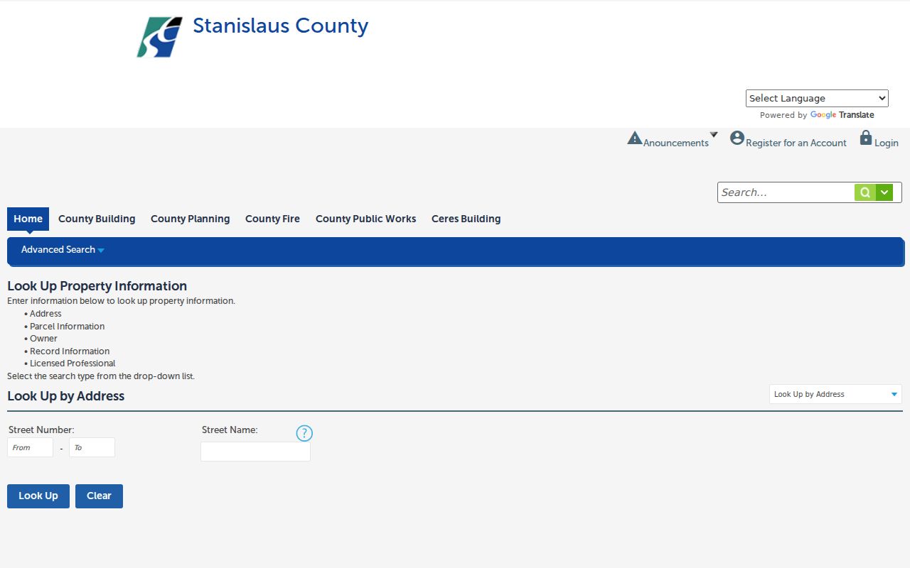
Accela can expose project records, applicants, and licensed professionals. Those roles describe a filing, not occupancy. Save the APN, record number, date, and address type before pivoting to a different custodian.
- Parcel
- A mapped land unit identified by an APN. It may contain a structure but does not list every person connected to it.
- Situs address
- The location of the taxable parcel. It is not the same as the mailing address used for a tax notice.
- Plat
- A recorded map that names a subdivision, lot, block, or survey relationship.
- Criss-cross directory
- An address-first source that reverses name lookup and may show a listed occupant or subscriber for a past year.
Ceres Assessor Search Fields
The free Stanislaus Assessor Public Inquiry requires an APN in 000-000-000 format after its disclosure. That design makes it strong for confirming a parcel and weak as a name-first Ceres street directory. Public kiosks at 1010 10th Street, Suite 2400, in Modesto allow broader inquiry during office hours. A paid Agency Inquiry service supplies owner-name and situs searching for professional users.
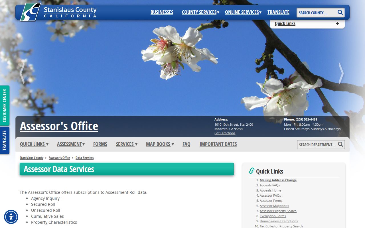
The assessor’s data-services page also points to map books and other parcel-finding routes. The free public web path should be read as an APN lookup, not as a complete resident search. A tax-bill mailing address can lead to a correspondence location. It does not establish that the owner lives at that address or at the parcel.
The source image below links to the county’s assessor data-services information. It places the free inquiry, map, and paid access choices side by side.
| Assessor field or control | Required or useful detail |
|---|---|
| Parcel Number | Required on the free web form; use three numeric groups with dashes. |
| Agree and continue | Accepts the accuracy, resale, and privacy disclosure before the search. |
| Owner or situs | Broader search route through a public kiosk or paid Agency Inquiry, not the basic web form. |
| Tax-bill mailing | Routes notices and may differ from the parcel’s situs address. |
The county’s access distinction is also described on the Assessor data-subscription page. The capture below shows the difference between a free APN inquiry, public kiosks, and broader paid access.
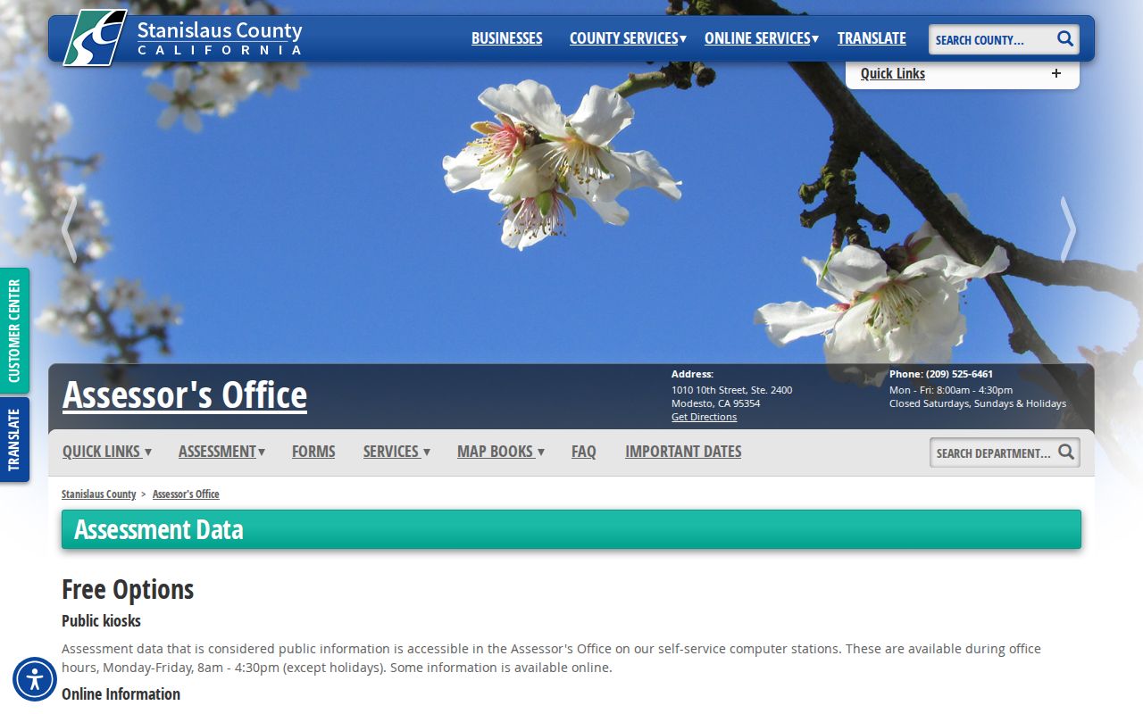
That split is why an address-led search should obtain the APN first, then use the office channel that matches the desired owner or situs question.
Ceres Records by Street
Several Ceres records can be joined by an APN, address, or dated street reference, but they do not all expose the same people. The Ceres street directory coverage table is a practical map for a street-by-street search. RecorderWorks is party indexed rather than street filtered. The city permit route may require a narrow request. Voter data is protected and cannot be treated as an open block list.
| Record set | Keeper | What it shows | Access |
|---|---|---|---|
| Assessor roll | Stanislaus Assessor | Owner, situs, mailing, parcel traits | Free APN web search; kiosk for broader search |
| GIS parcel map | Stanislaus GIS | Adjacent polygons, APNs, limits, annexations | Free map and data resources |
| Deeds and liens | Clerk-Recorder | Named parties, dates, legal descriptions | Free index; copies through office channels |
| Planning and building files | Ceres Planning and Building | Applicant, owner, project, site address, APN | Forms, Accela, or focused request |
| Haines criss-cross | Stanislaus County Library | Historical address-to-listed-name clues | In-library collection, 1971 to 1990 with gaps |
The APN is the best bridge between a parcel and a deed. The street name is a weaker join because abbreviations, numbering, and city or county jurisdiction can shift. Keep a record date beside every result. That small habit prevents a current map from being used as if it described an older Ceres address.
Ceres GIS Adjacent Parcels
The Stanislaus County GIS resources support a block or street browse. Search or pan to the address, turn on parcel boundary and label layers, select the subject polygon, and record the APN. Then select each adjoining polygon rather than assuming that the next street number is the next parcel. County GIS materials advertise parcel and land assessment, city limits, annexations, county islands, roads, fire districts, and other service layers.
Recorded Maps adds another layer of proof. Its map families include parcel maps, subdivision maps, county surveys, records of survey, corner records, tie cards, GLO plats, and certificates of correction. A selected feature can provide a map name, volume, page, city, and PDF link. That reference can help match a modern APN to the legal description used in a deed.
Parcel geometry is useful for orientation, not a boundary survey. Select each adjacent shape, copy the APN, and open the assessor record separately. GIS adjacency shows land next to land. It does not show every person who crosses a doorway or every household member at the address.
Ceres RecorderWorks Along a Street
Once an APN identifies the parcel, move to RecorderWorks with an owner name or a known document reference. The Name tab uses LAST Name space FIRST Name or a business name, with partial first names and recording dates as narrowing tools. Document Number and Book and Page tabs matter when a city file, map, or prior deed supplies a reference.
For a conveyance, the grantor is the seller or transferor and the grantee is the buyer or transferee. In an encumbrance, the roles can describe a debtor and creditor or another legal relationship. Search the recording year. Then confirm the same parcel through its APN or legal description, because a common name can join unrelated land.
The recorder’s guide says computer index and image work is different from pre-1978 volume-and-page research. The modern public index reaches back to 1850 in its advertised span, while older retrieval can require the alphabetical grantor and grantee books and office images. Copies use the county request path, not an assumption that every image is a free download.
Ceres Permits by Address
Planning and building records can date a change at an address. Ceres Building Permits and the city’s permit forms cover annexation, conditional use, rezoning, site plans, parcel and subdivision maps, variances, home occupations, signs, and sidewalk vendors. A completed filing may name an applicant, property owner, representative, mailing address, site address, APN, and project date. Those are useful links between an address and a record, but they describe a project role.
The city says building submittals became electronic on July 1, 2024. The county-hosted Accela service supplies address, parcel, owner, record, and licensed-professional modes, yet no verified public permit-name database or complete coverage start date was located. For a missing permit history, ask Ceres Building for the address and APN, describe the date span, and use the city’s CPRA route if needed.
Ceres zoning information supplies another address or APN route. Planning can be reached at 209-538-5774, while Building Division information lists 209-538-5753 and inspections at 209-525-6557. These channels answer a record question more reliably than a broad name search. State whether the desired result is a permit index, an application, an inspection record, or a completed file.
Haines Reverse Directory for Ceres
The historical reverse tool for a Ceres street is the Haines North San Joaquin Valley criss-cross collection at the Stanislaus County Library. The catalog lists 1971 to 1990 with gaps, including missing 1982, 1986, and 1987 volumes. A criss-cross section starts with the street and house number, then may give a listed occupant or telephone subscriber. It can place a name at an address in a past year without proving ownership.
Polk’s Stanislaus County directories are organized under a larger Modesto title and run from 1910 to 1991 with listed missing years. That catalog quirk is central to a Ceres street directory search. Check the larger market title, the county telephone run from 1966 to 1998, and the local history catalog before deciding that a Ceres volume is absent. A second street directory reference can test the address when a surname is uncertain.
For a later household trail, record the exact spelling, street number, suffix, phone notation, and page. Compare adjacent years to tell a move from a missing volume. The historical shelf is described in greater detail on the Ceres city directory collections page.
Ceres Edge and Annexation Addresses
A postal Ceres label is not the same as incorporated Ceres. The city’s Street Address Locator publishes numbered-street ranges and named-street PDFs, and the city warns that additions or corrections can occur. A number outside the table may still use Ceres as a mailing city while lying in unincorporated Stanislaus County. Check the locator, GIS city-limit layer, APN, and Planning record date together.
The Ceres planning area is split among incorporated land, unincorporated land inside the sphere of influence, unincorporated land outside it, and a small Modesto area. The sphere is a potential service area, not present city jurisdiction. LAFCO controls annexation. The Copper Trails proposal involves about 535 adjacent acres plus additional unincorporated land, so a parcel can shift from county-only files to city permits over time without changing its postal ZIP.
The boundary reference below comes from the Stanislaus Local Agency Formation Commission service review. It is a useful companion to the city locator when a street record crosses an edge.
Keep the jurisdiction date in the evidence log. An older permit, deed, or notice may name a county department even when a later record names Ceres. That is a change in government channel, not necessarily a change in the street or parcel.
What Ceres Street Records Cannot Show
A parcel record names an owner or legal party. It does not reliably name every non-owner occupant, child, roommate, guest, or person who receives mail there. Utility customer data, delivery data, and DMV addresses are not public directory substitutes. A criss-cross entry may reflect a listed subscriber, and a voter file may be restricted or outdated. Treat the street directory as a chain of record clues, not a promise of a household census.
California’s Safe at Home program can shield an eligible participant with a substitute mailing address. The voter file is purpose restricted under Elections Code sections 2194 and 18109. City and county records can also contain redactions. If a result looks wrong, correct it with the custodian that created it. A commercial compilation request cannot change a recorder, court, assessor, or election record.
Lawful personal use. Address records are appropriate for house history, family research, civic questions, and personal safety awareness. Do not use a Ceres street directory to stalk, harass, threaten, or intimidate anyone.